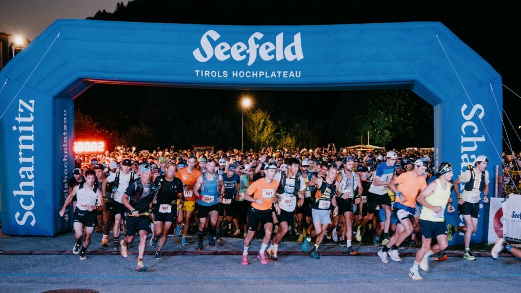
ROUTE
A ROUTE WITH A VIEW
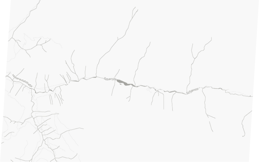
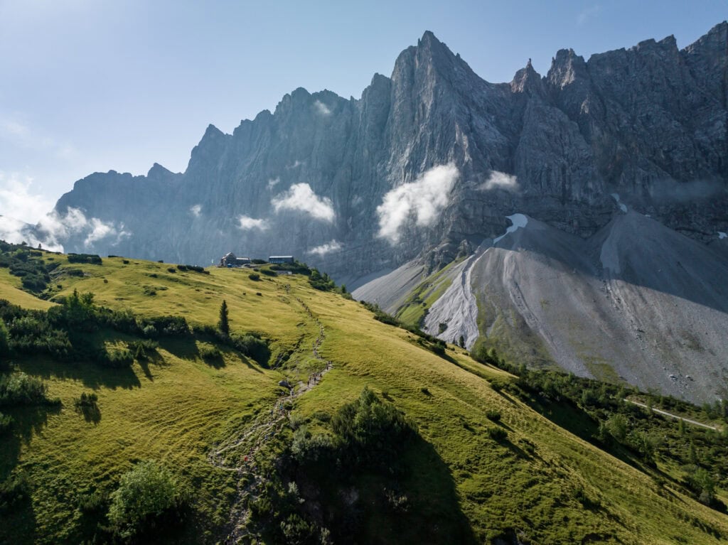
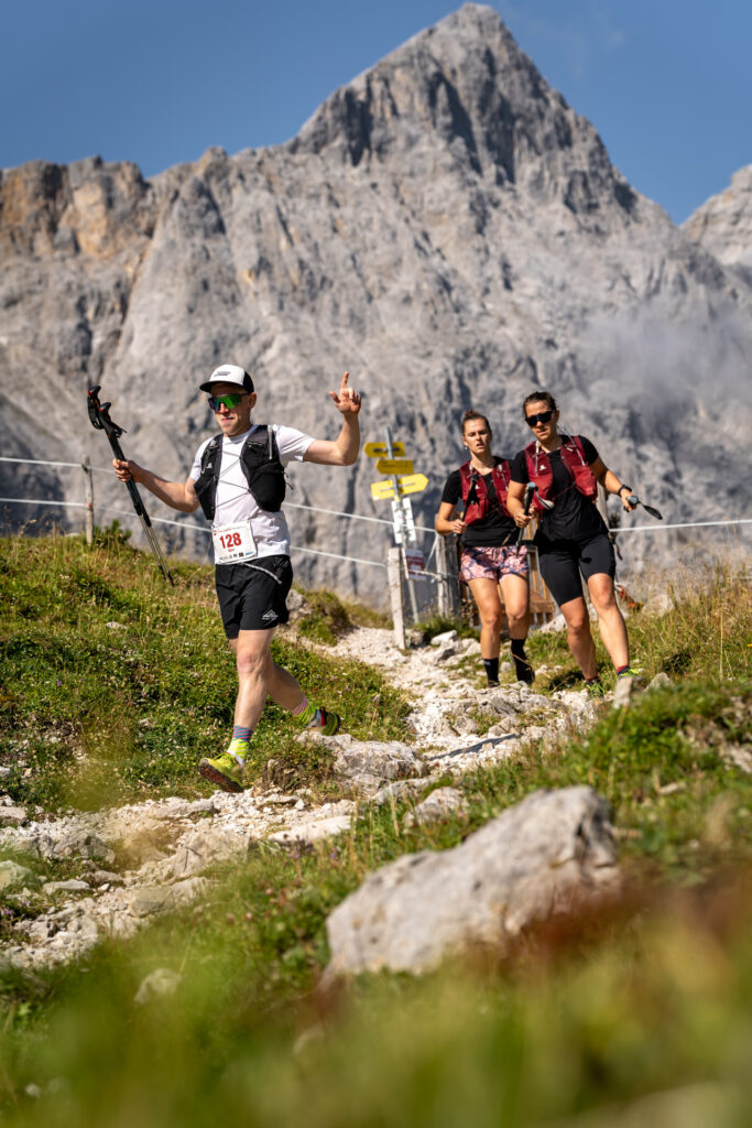
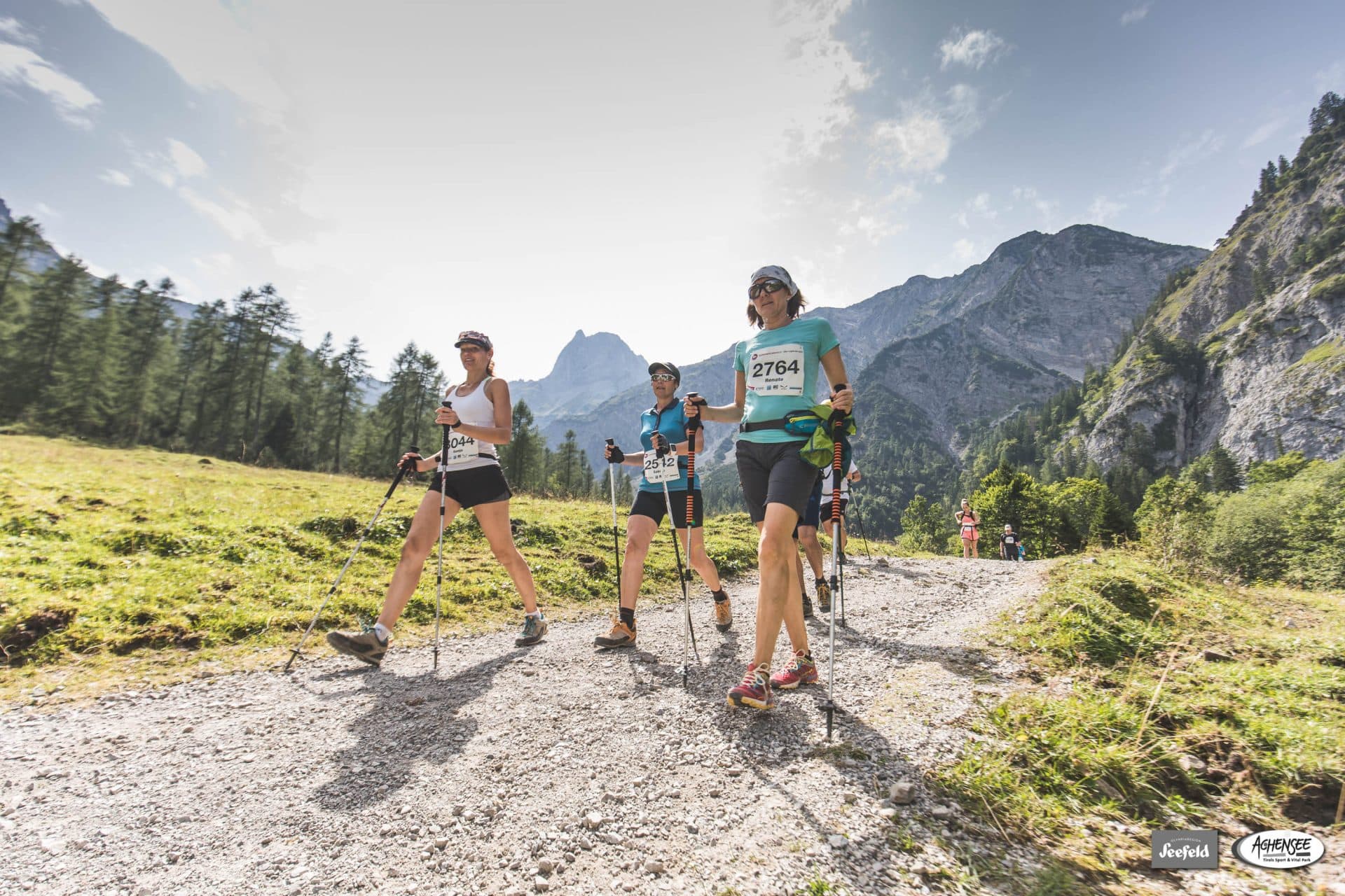
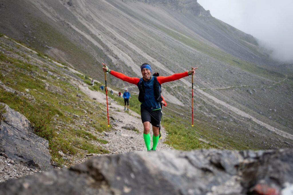
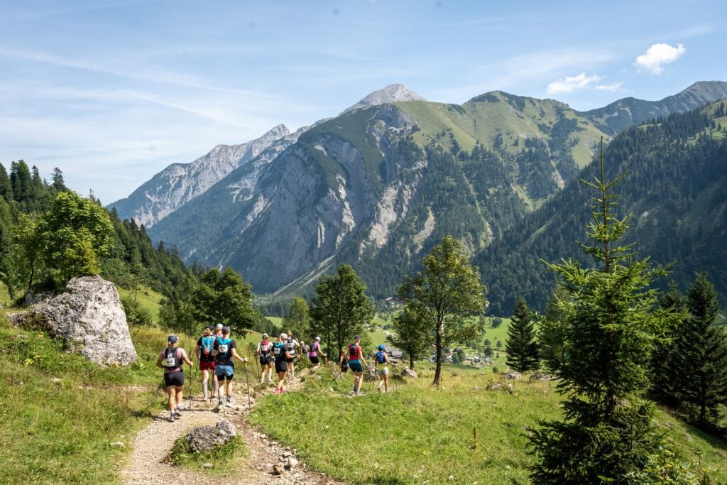
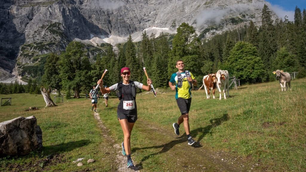
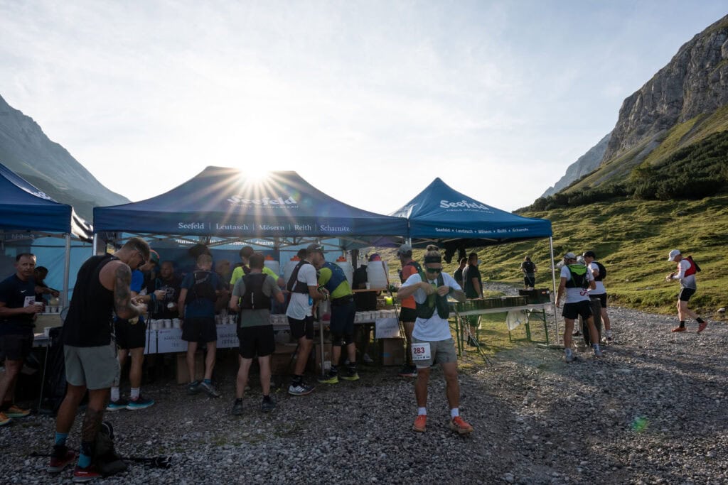
The legendary 52 km route through the picturesque Karwendel mountain range runs exclusively on existing paths and the environmentally friendly organisation of the event is a top priority for the organisers. Here you will find all the important information about the course as well as interesting details about the route.
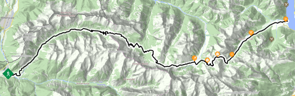
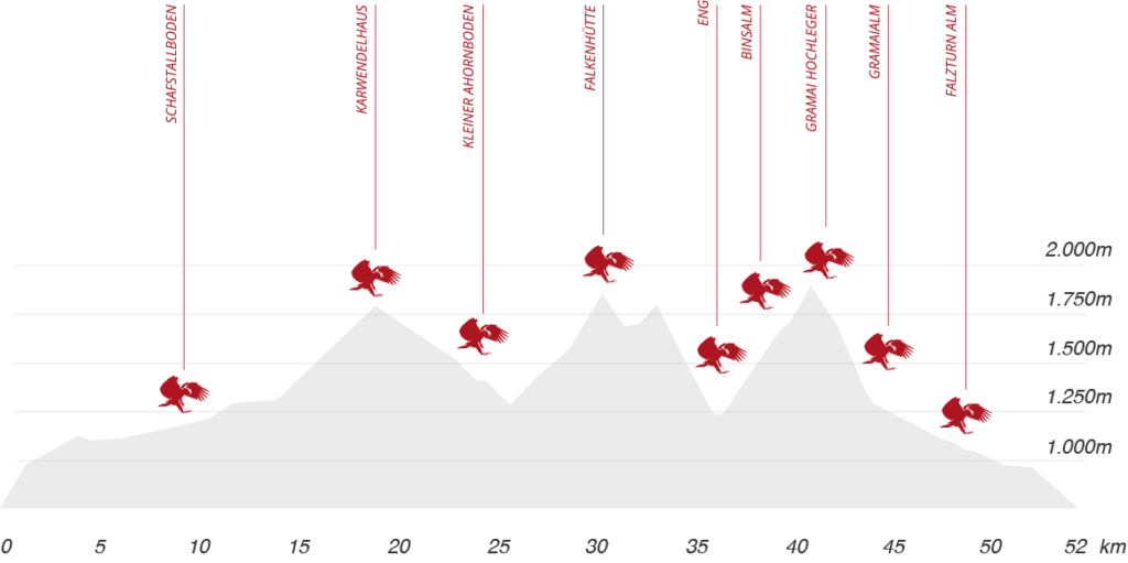
The Karwendelmarsch, starting in Scharnitz (964 m), leads via the following route points, where the refreshment stations are located:
- the Schafstallboden (1.173 m), 9,58 km
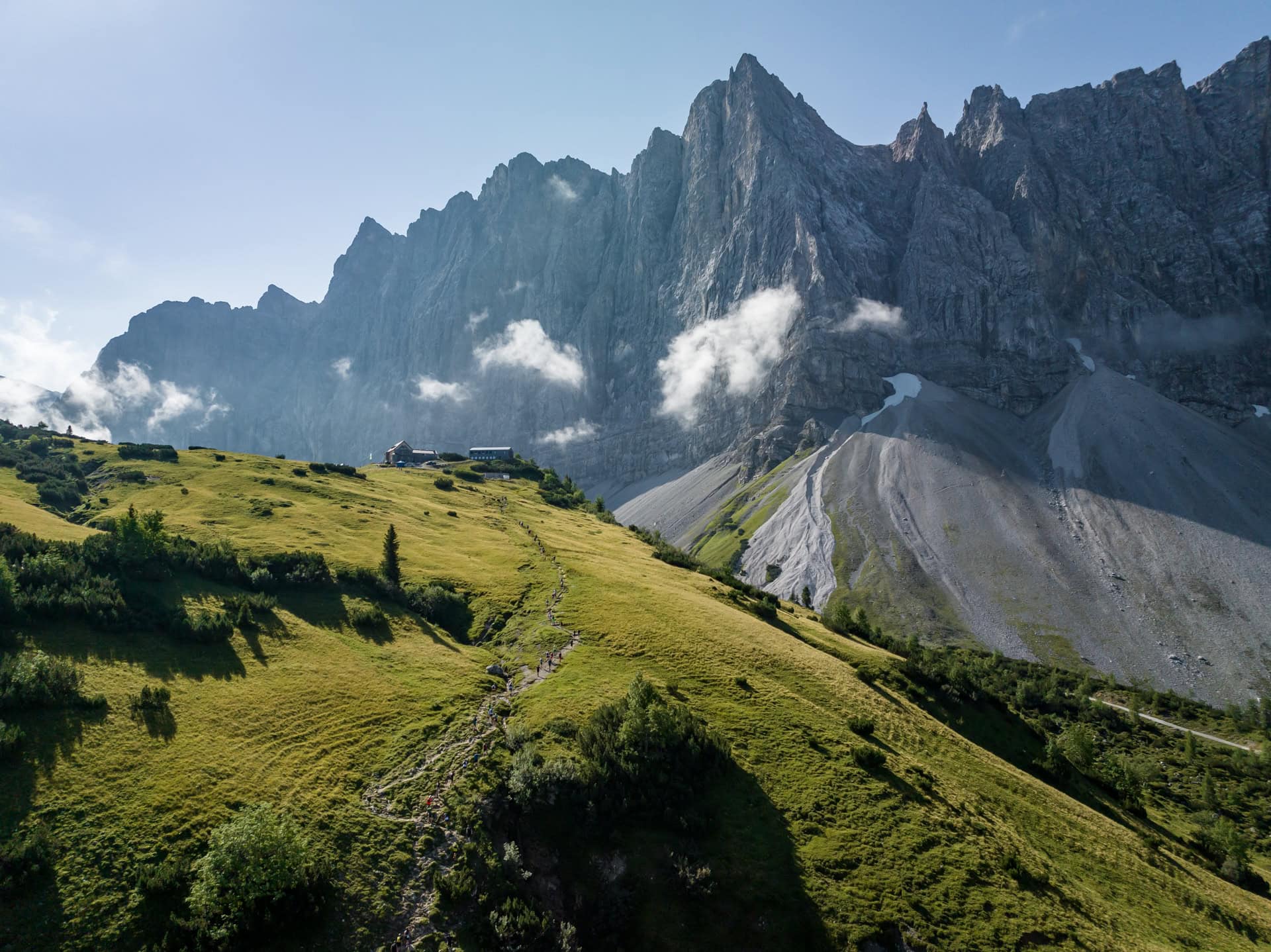
- the Karwendelhaus (1.771 m), 18,19 km
- the kleinen Ahornboden (1.399 m), 24,23 km
- the Falkenhütte (1.848 m), 30,23 km
- the Eng (1.227 m) – 35 km FINISH,
- the Binsalm (1.502 m), 38,37 km
- the Gramai Hochleger (1.756 m), 41,52 km
- the Gramai Alm (1.263 m), 44,50 km
- the Falzturn Alm (1.098 m), 48,18 km
- until Pertisau am Achensee (932 m) – 52 km FINISH
CROSS-SECTION & HEIGHT PROFILE
Interesting routesDETAILS AT A GLANCE
Length of route:
ca. 52 km
ca. 35 km (Eng)
Sea level start:
967 m
Sea level finish:
932 m
Difference in altitude (only up):
ca. 2.281 m
ca. 1.500 m (Eng)
Highest point:
1.903 m (Binssattel/Gramaisattel)
Lowest point:
932 m